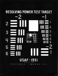
Even the eyes in the sky need to check acuity once in awhile. There are a number of “eye charts” throughout California for this purpose. Airplane eye charts provide a platform for aerial photography to calibrate and focus aerial cameras traveling at different speeds and altitudes. Works for satellites too.

